Crooked Island

OLYMPUS DIGITAL CAMERA
Bird Island Light from a distance.

A quick note first – hurricane Matthew just blew past Crooked Island. Our thoughts are with the people there, and in the rest of the Bahamas. With all our hearts, we hope no harm came to them.

We left Rum Cay determined to sail – not motor – to our next destination. We couldn’t be sure, until we got away from the island, exactly what the wind would be doing. To accommodate the uncertainty, we set a number of potential destinations in our chart plotter, and decided we’d make the eastern-most one that the wind would allow. Clarencetown, Long Island if the wind was south of east, Crooked Island, Plana Cays, or Mayaguana if we had a little more luck and the wind was pure east or north of east.

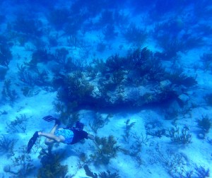
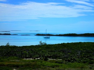
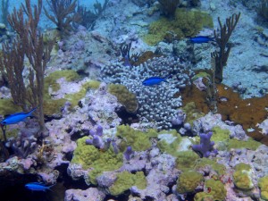
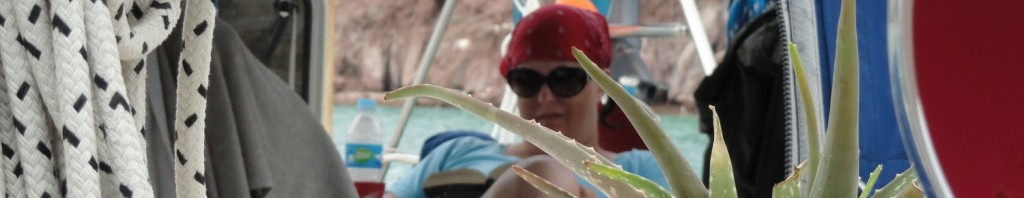
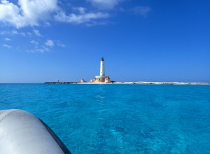
It turned out that we could not have been luckier if we had tried, because we ended up at Crooked Island, which we would have otherwise passed by, and it was just amazing. Not just the island itself, which would have been enough, but the beautiful people we met there, both on land and on another boat.

Read more

Cay Hopping to Georgetown


Alan hunting a big grouper

We left Staniel Cay with the intention to get to Georgetown pretty quickly, but in short hops. We pulled into a different anchorage each night, and left early in the mornings.

First we stopped at Little Farmers Cay. Our timing was off for the tides, so it was a really sporty ride getting through the cut, but we made it without incident. This is the first place we’ve been where our Navionics charts have been WAY off. They showed 1-3 feet of water in a large area where we found nothing less than eight feet. Fortunately, by now we felt pretty confident in our ability to read the water, so we proceeded with caution, and were fine. Our ancient Explorer Charts showed more depth, and were ultimately more accurate, and that also gave us confidence. We had a nice evening there visiting with the crew of s/v Monarch, who pulled in right after us from the other side. We took off as soon as we had decent light in the morning. Leaving, we also sailed right over water marked on the chart as 3.5 – 4 feet, but had plenty of depth: 8 feet or more again. We re-entered the Atlantic side of the water through Galliot Cay Cut, and were stunned at the beauty of that area. We hated to pass it by, and I’m sure we’ll return someday. Read more

Cambridge Cay and Staniel Cay

Consort moored at Cambridge Cay


Blue fish - I love these little guys!
Blue fish – I love these little guys!

We arrived Cambridge Cay without much fuss and right on schedule with the tides, so there was zero drama getting through the cut there. We picked up a mooring, and within minutes a park ranger came by to check on us. I guess he decided we were on the up and up, because he smiled and said he’d see us later. Nice security, and surprising, considering the remoteness of the place. Read more